
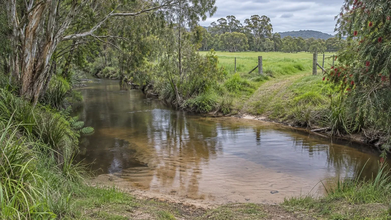
You find a block that stacks up. It is big enough for the lots the numbers need, the frontage works, and there is a shallow creek cutting across the back corner. The planner says the layout is broadly supportable. The engineer says the driveway crossing will need a culvert.
Then someone asks whether the works in the creek are approved. That single question can add a permit, a consent from a neighbour, a seasonal restriction on your construction timing and a water quality argument you had not budgeted for.
The deal question: is there a watercourse on this land, and will you work in it?
Queensland deals with this under its own water legislation rather than through the development approval alone. The Business Queensland page on riverine protection permits states that a riverine protection permit exists to ensure an activity in a watercourse, lake or spring is done sustainably, and that you might need one if you plan to destroy vegetation in a watercourse, to excavate material in a watercourse, or to place fill in a watercourse.
So the feasibility question is not "is there a creek on the title". It is: does anything you intend to build, cross, drain, reshape or clear sit inside the bed or banks of a watercourse, lake or spring?
The trap: an approved subdivision with unlawful works in the creek
The Business Queensland page states that destroying vegetation, excavating or placing fill in a watercourse, lake or spring without a riverine protection permit or an exemption is an offence under the Water Act 2000. That sentence is the whole risk, and it is easy to read past.
A reconfiguring-a-lot approval, an operational work permit and engineering drawings stamped by a civil engineer do not create the water authority. They sit in a different statutory framework. You can hold a valid development approval, build exactly what the drawings show, and still have committed an offence in the creek line.
The exemption is real, but it is all-or-nothing
There is a genuine exemption pathway, and it is generous where it applies. The same page states that you do not need a riverine protection permit if you meet all the conditions detailed in the riverine protection permit exemption requirements, and it lists what those include: eligibility; the purpose of the activity; vegetation clearing requirements; volumetric limits for excavating or placing fill for landowners only; and minimum requirements to protect the watercourse, lake or spring.
The page then closes the door on partial compliance: all the exemption requirements must be met for an activity to be exempt, and if you are not covered by an exemption you need to apply for a permit.
That structure matters commercially. It means the exemption is not a percentage discount on risk. It is a checklist with no partial credit, and a job that fails one condition is a permit application.
Other approvals are your responsibility, not the department's
The page is direct about this. It states that it is your responsibility to check whether you need other authorisations, such as a vegetation clearing permit, and points to separate material on clearing native vegetation and on repairs to watercourses and water-related infrastructure.
That is a warning about layered approvals. On a Queensland site with a creek, you may be dealing with the riverine protection permit question, the state vegetation clearing framework, and the planning approval for operational work, and each of them is assessed by reference to different criteria and different maps. Getting one does not advance the others.
What the Act requires of your application
The Water Act 2000 sets out the mechanics. Section 218 provides that a person may apply to the chief executive for a riverine protection permit to destroy vegetation in, excavate in, or place fill in a watercourse, lake or spring, and it lists those three categories of activity. The same section provides that where the applicant is not the registered owner of land wholly containing the relevant length of the watercourse, or the holder of a mineral development licence or mining lease over it, the application must include the written consent of the registered owners of land wholly containing, or adjoining, that part of the watercourse, lake or spring.
Read that against a boundary creek. If the drainage line crosses into a neighbour's land, you cannot lodge a complete application without their signature, and an unwilling neighbour is a schedule problem you cannot build your way out of.
Section 220 then sets out what the decision maker must consider: the effects of the proposed activity on water quality; the quantity and the type of vegetation to be destroyed or material to be excavated or placed; the seasonal factors influencing the watercourse, lake or spring from time to time; the position in the watercourse of the vegetation or the proposed excavation or fill; and the reasons given by the applicant for wanting to carry out the activity.
Two of those criteria are schedule instructions. Seasonal factors and the position of the works in the channel both affect when you can build and how much of the channel you can touch, which means the permit conditions can constrain your construction programme rather than sitting alongside it.
The site test a student would run, in order
- Have the drainage defined properly. A surveyor or civil engineer identifies the watercourse, its bed and banks, and any overland flow path, on the current mapping rather than from an aerial photograph.
- Map every proposed intrusion. Crossings, culverts, stormwater outlets, batters, retaining structures, landscaping and any vegetation clearing inside the bed or banks.
- Test the exemption requirements line by line against the actual works, including volumetric limits and the minimum requirements to protect the watercourse.
- Check who must consent. Establish whether the relevant length of watercourse is wholly within your land or shared with an adjoining owner.
- Check the separate approvals for vegetation clearing and for operational work, and confirm how they are sequenced with the water permit.
- Price the water quality evidence, the design changes that avoid working in the channel, and the inspection and reporting conditions into your feasibility.
- Ask what happens if the permit is refused or conditioned. Can the layout change to avoid the watercourse entirely, and what does that cost in lots?
What this does to the offer
Run the feasibility twice: the layout that uses the creek line, and a layout that avoids it. If the avoiding layout keeps almost all of the yield, the commercial answer is usually to design around the watercourse rather than argue about the permit, because avoidance removes the offence risk, the neighbour's consent, the seasonal restriction and the water quality argument in one decision.
If the creek line is essential to the yield, then the permit sits on your critical path and your price should reflect a programme that includes it, not one that assumes it away.
Practical next steps
You are not expected to solve this yourself. A surveyor or civil engineer defines the watercourse and the works in it, and the crossing, drainage and flood design. A town planner confirms how the water permit sits alongside the development approval and the operational work permit. An environmental or water consultant, or the local business centre of the administering department, confirms whether the exemption requirements can be met or whether a permit application is required. Confirm the current watercourse mapping, the current exemption requirements and the consent position before you commit to a layout or a price.
Sources and boundaries
Sources checked 28 September 2026. Jurisdiction and limits: Queensland specific information. This guide relies on the riverine protection permit provisions in the Water Act 2000 (Qld) and on the current Queensland Government guidance pages for riverine protection permits and their exemption requirements. Whether an activity needs a permit depends on the site: the location of the watercourse, lake or spring; whether the work destroys vegetation, excavates or places fill; the volume and area involved; whether an exemption applies and every one of its conditions is met; and whether the landholder or adjoining landholders must consent. Vegetation clearing, operational work and other approvals may be required separately, and the responsibility for identifying them sits with the applicant. Fees, exemption requirements and mapping are updated, and the pages relied on here carry their own review dates. Other states and territories must not be assessed against this material. This is general information only.
- Business Queensland — Riverine protection permits. Used for: that a riverine protection permit ensures an activity in a watercourse, lake or spring is done sustainably; the listed activities that may need a permit, being destroying vegetation, excavating material and placing fill in a watercourse, lake or spring; the statement that it is the applicant's responsibility to check other authorisations such as a vegetation clearing permit; the list of matters covered by the exemption requirements; and that destroying vegetation, excavating or placing fill in a watercourse, lake or spring without a permit or an exemption is an offence under the Water Act 2000 (Checked 28 September 2026)
- Water Act 2000 (Qld) — current in-force text. Used for: section 218, which provides that a person may apply to the chief executive for a riverine protection permit to destroy vegetation in, excavate in, or place fill in a watercourse, lake or spring, and that the application must include the written consent of the registered owners of the land wholly containing or adjoining the relevant length of watercourse, lake or spring; section 220, which sets out the criteria for deciding an application; and section 814, which makes it an offence to carry out those activities without a riverine protection permit (Checked 28 September 2026)
- Queensland Government — Vegetation management. Used for: the Queensland vegetation clearing framework the riverine protection permit page points to as a separate authorisation you may also need, confirming that the water permit and the vegetation framework are different instruments assessed against different criteria (Checked 28 September 2026)
This article is general education, not personalised planning, legal, financial, tax, privacy, safety or building advice. Requirements and outcomes vary by jurisdiction, site, contract, structure and circumstances. Check current information with the relevant authority and appropriately qualified advisers.
 Learn with Jason & AmyBuild practical small-scale property development skills with experienced mentors.Enquire now
Rate this article
Guest rating: select 1 star for poor or 5 stars for great. No account is required.
Leave a comment
Join the discussion. Your email address will not be published.
Frequently asked questions
Why is a creek on the site a separate approval problem from the subdivision?
Because Queensland regulates the works in the watercourse under water legislation, not under the development approval alone. The Business Queensland riverine protection permits page states that the permit exists to ensure an activity in a watercourse, lake or spring is done sustainably, and that you might need one if you plan to destroy vegetation in a watercourse, excavate material in a watercourse or place fill in a watercourse. The page also states that destroying vegetation, excavating or placing fill in a watercourse, lake or spring without a permit or an exemption is an offence under the Water Act 2000. A reconfiguring-a-lot approval can be in place and the works in the creek still be unlawful.
A culvert or a driveway crossing is a small job. Does it really need a permit?
It can, and this is where the exemption requirements do the work. The same page states that you do not need a riverine protection permit if you meet all the conditions detailed in the exemption requirements, and it lists those conditions as eligibility, the purpose of the activity, vegetation clearing requirements, volumetric limits for excavating or placing fill for landowners, and minimum requirements to protect the watercourse, lake or spring. The page is explicit that all of the exemption requirements must be met for an activity to be exempt. One condition missed takes the job back into the permit pathway.
What does the application actually have to contain?
The Act sets this out, and one requirement catches people. Section 218 of the Water Act 2000 provides that a person may apply to the chief executive for a riverine protection permit to destroy vegetation in, excavate in, or place fill in a watercourse, lake or spring, and that where the applicant is not the registered owner of the land wholly containing the relevant length of watercourse, or the holder of a mineral development licence or mining lease for it, the application must include the written consent of the registered owners of land wholly containing, or adjoining, that part of the watercourse, lake or spring. If your creek runs across a boundary, other people's signatures are part of your critical path.
How is the application decided, and what information matters?
Section 220 of the Act lists the matters the chief executive must consider when deciding whether to grant or refuse an application or what conditions to impose. They include the effects of the proposed activity on water quality; the quantity and the type of vegetation to be destroyed or material to be excavated or placed; the seasonal factors influencing the watercourse, lake or spring from time to time; the position in the watercourse of the vegetation to be destroyed or the proposed excavation or fill; and the reasons given by the applicant for wishing to carry out the activity. That list tells you what a competent application looks like: it is a water-quality and hydrology argument, not a construction programme.
What is the penalty exposure if the works proceed without a permit?
The offence provision carries a real maximum. Section 814 of the Water Act 2000 provides that a person must not destroy vegetation in, excavate in, or place fill in a watercourse, lake or spring unless the person has a riverine protection permit to carry out the activity, and sets a maximum penalty of 1,665 penalty units. The subsection also describes limited circumstances where it does not apply, including where the activity is permitted or required under another authority under the Act or a development permit for prescribed assessable development, so the exemption question is a legal one for your adviser and not a judgement call on site.
Loading comments…