
There is a cheap way to look at a Brisbane block, and an expensive way. The cheap way is to ask what the asking price is and whether the block looks big enough for two. The expensive way is to find out what the zone actually permits, and that question decides almost everything that follows: the minimum lot size, the frontage and rectangle tests, the overlays that can defeat the split, and whether the application is a quiet code assessment or a publicly notified impact assessment.
Subdivision in Brisbane is a zoning question first
Brisbane City Council is direct about the starting point. Subdividing is also known as ‘reconfiguring a lot’ — it covers creating lots from another lot, merging lots, rearranging boundaries, creating a community title scheme, volumetric subdivision, dividing land by agreement and creating an access easement — and before a reconfigured lot is sold it must be created and have its title registered (Brisbane City Council — Subdividing land).
Council's fact sheet then removes any doubt about the default answer: “Yes, you will need to lodge a development application with Council to subdivide your land” (Brisbane City Council — Subdividing land fact sheet). That is the first thing most first-time subdividers underestimate. Because the block is yours and the fence is straight, it is easy to assume the split is a formality. It is not — it is an assessable development application until you have proven otherwise.
How the zone controls the numbers
Council's fact sheet publishes a selected table of minimum lot sizes for the most common zones. For the main residential zones it shows a Low density residential front lot at 450 square metres and a rear lot at 600; a Low density residential site around centres at 300 square metres (small lot) with a rear lot at 600; a Character residential front lot at 450 and a rear lot at 600; and, in the Low-medium density residential zone, front lots of 260 square metres in the 2 storey mix and 2 or 3 storey mix precincts, 180 square metres in the up to 3 storeys precinct, with rear lots at 350. Rural residential is shown at 10,000 square metres.
Then the fact sheet immediately qualifies its own table, and this is the sentence that matters most: the figures “are also subject to meeting requirements for minimum frontage, average width and development rectangle”, and the minimum lot sizes in the table “are only one aspect to consider when subdividing your land”, with further information in the Subdivision code in City Plan online. The fact sheet was published in July 2017, and Brisbane City Plan 2014 has been amended since.
So if you want to know what a specific block can yield, the honest answer is not a number from a 2017 table. It is the current zone, the current precinct and the current Subdivision code text for that zone — which is exactly what City Plan online is for: its interactive mapping shows the City Plan requirements that apply to a site, it can generate a property report summarising those requirements, and it lets you compare current and superseded versions of the scheme.
Brisbane City Plan 2014 is also being amended. Council's More Homes, Sooner low-medium density residential design schedule of amendments (print date on the schedule 05/11/2025) reprints the Subdivision code at section 9.4.10 and the table of assessment at Table 5.6.1, including an amended dwelling house minimum lot size in the low-medium density residential zone of 350 square metres where a rear lot and 260 square metres where not a rear lot. Read amendment schedules as a map of what changed, not as the consolidated rule: the operative text is the current City Plan.
The overlays and site constraints that quietly decide the split
Even a generous zone does not guarantee a subdivision. Council's fact sheet says that in some cases it “may not be appropriate to subdivide due to characteristics of the land”, and names excessive slope, protected vegetation, the location of infrastructure, flooding and the location of heritage or character buildings.
Those constraints live in the overlays, so the practical step is to open the site on City Plan online and read the layers rather than the zoning label alone. Flood, character and heritage, bushfire, vegetation and slope overlays all have the capacity to change what can be built on the resulting lots, and the minimum rectangle dimension test in the Subdivision code is tied to the existing slope of the land. A block that clears the area test on paper and fails the rectangle-on-slope test is not a subdivision site.
Code assessment, impact assessment, and public notification
Queensland's Planning Act 2016 sets the framework. Section 44 provides three categories of development — prohibited, assessable and accepted — and section 45 provides the two categories of assessment for assessable development: code and impact (Planning Act 2016 (Qld)). Section 60 then governs the decision: to the extent a code assessment application complies with all the assessment benchmarks, the assessment manager must decide to approve it.
In Brisbane that distinction is not procedural trivia. Council's development application types page records that a code assessable application is development typically anticipated within the locality and “doesn’t require public notification”, while an impact assessable application is assessed against all identified codes and the whole of City Plan to the relevant extent (Brisbane City Council — Development application types). Council's fact sheet describes what notification involves: signage on site, a notice in the paper and letters to neighbours.
The trap is that the thing which pushes a proposal from code to impact is often the one thing the buyer was counting on. The amended Table 5.6.1 reproduced in the More Homes, Sooner schedule makes a reconfiguration impact assessable in the low density residential zone where a proposed lot is below 300 square metres and the lot frontage is within 200 metres walking distance of a centre zone site or sites with a combined site area of more than 2,000 square metres, or below 600 square metres where it is a rear lot. Below the trigger is not merely harder — it is a different application.
When you lodge, and what has to be perfect
Brisbane City Council's prepare and lodge page sets out what must travel with the application — the application form, owner’s consent documents, proposal plans, planning assessment, specialist investigation reports and other supporting documents — and is blunt about one of them: written consent from the owner is needed, must be dated to be valid, and without it “your application will be incomplete” (Brisbane City Council — Prepare and lodge an application). The Planning Act 2016 is the reason: an application for a material change of use of premises or reconfiguring a lot must be accompanied by the written consent of the owner of the premises.
And approval is not the finish line. A plan sealing request is needed to register a title with Titles Queensland, and Council notes that it is normally the qualified surveyor who drew the survey plan, or a town planner familiar with plan sealing requirements, who lodges it for the owner. Most development approvals will also require the land to be appropriately serviced at the owner’s cost, and infrastructure charges can apply.
Why Brisbane subdivision applications run into trouble
- The lot falls below the zone’s trigger. The proposal is no longer code assessable and the time, cost and third-party exposure all change.
- The figure came from an old table. The 2017 fact sheet table was an orientation document; the current Subdivision code and the current table of assessment govern.
- Frontage, average width or the minimum rectangle fail. Area alone never answers the question, and the rectangle has to sit on land of an acceptable existing slope.
- Access is assumed rather than designed. Rear lots need legal, workable access, and an access easement is itself a form of subdivision.
- An overlay was never read. Flood, character, heritage, bushfire and vegetation can each defeat or reshape a split that looked straightforward.
- Owner’s consent is missing or undated. The application is incomplete before it is assessed.
- Servicing and charges were left out of the feasibility. Connecting the new lot and paying the charges is the developer’s cost, not the council’s.
A pre-purchase checklist for a Brisbane subdivision site
- Find the property in City Plan online and record the zone and precinct, not just the suburb.
- Read every overlay affecting the site, and note which ones change built form, vegetation or flooding.
- Read the Subdivision code and the table of assessment for that zone and precinct — in the current consolidated City Plan.
- Sketch the actual split and check each resulting lot against area, frontage, average width and minimum rectangle, with margin.
- Check whether any proposed lot would fall below the impact-assessment trigger, and what that would do to your timeline and budget.
- Test access: driveway location, sight distance, and whether a rear lot needs an easement or access handle.
- Order a title search and check for easements, covenants and restrictions that limit what can be built.
- Ask Council, or your planner, what servicing and infrastructure charges the new lot will attract.
The feasibility test
Put the split in a spreadsheet before you put it in an offer. Line up the purchase price and acquisition costs, your planner and surveyor fees, the application fee, the servicing and infrastructure charges, the holding costs across the assessment period you actually expect, and a contingency for the overlay that turns out to matter. Then compare that against the end value of the two lots you would genuinely be able to create — not the two lots you sketched first. If the margin only works when the application is code assessable and every control is met with no margin, you are not looking at a feasible deal; you are looking at a bet on the planning scheme.
What a student should do next
You are not expected to solve this yourself. The zone, the precinct, the overlays, the table of assessment and the Subdivision code are technical material, and reading them correctly is a professional skill. Your town planner owns the planning answer: ask them to confirm the zone and precinct, every overlay, the applicable code clause and whether the proposal is code or impact assessable — in writing, with the clause reference. Your licensed surveyor owns the physical answer: ask for a current plan showing boundaries, levels and existing structures, and for confirmation that the rectangle your planner is relying on actually sits on the land. Then take those two answers and rebuild the feasibility before you commit.
Sources and boundaries
Sources checked 6 October 2026. Jurisdiction and limits: This guide is limited to the Brisbane City Council local government area, where Brisbane City Plan 2014 applies, and to the Queensland planning framework in the Planning Act 2016. Lot-size and frontage figures are quoted from the specific documents named in the sources, at the dates printed on those documents; Brisbane City Plan 2014 is amended regularly, so the current consolidated text in City Plan online governs any real application. Nothing here is a Queensland-wide or Australia-wide rule. Other states and territories operate under entirely different legislation and instruments.
- Brisbane City Council — Subdividing land. Used for: States that subdividing is also known as 'reconfiguring a lot', lists what it includes, states that a reconfigured lot must be created and have its title registered before it is sold, that a surveyor must be engaged, and lists the subdivisions treated as accepted development. Confirms applications are assessed as code or impact assessment and that impact assessment requires public notification. (Checked 6 October 2026)
- Brisbane City Council — Subdividing land fact sheet (PDF, published July 2017). Used for: Records that a development application must be lodged with Council, defines code and impact assessment, defines a small lot as a lot under 450 square metres or a rear lot under 600 square metres excluding the access way, publishes a selected table of minimum front and rear lot sizes for common zones, states those figures are also subject to minimum frontage, average width and development rectangle, and explains the 200 metre walking distance concession to a Centre zone greater than 2,000 square metres. (Checked 6 October 2026)
- Brisbane City Council — City Plan online. Used for: Describes City Plan online as the electronic version of Brisbane City Plan 2014, with interactive mapping to find the City Plan requirements that apply to a site, property reports summarising the City Plan requirements applicable to the site, and the ability to view and compare current and superseded versions of the scheme. (Checked 6 October 2026)
- Brisbane City Council — Development application types. Used for: Records that a code assessable development application is development typically anticipated within the locality and does not require public notification, and that an impact assessable application is assessed against all identified codes and the whole of City Plan to the relevant extent. (Checked 6 October 2026)
- Brisbane City Council — Prepare and lodge an application. Used for: Records the documents required with a development application — the application form, owner's consent documents, proposal plans, planning assessment, specialist investigation reports and supporting reports — and states that written consent from the owner is needed, must be dated to be valid, and that without it the application will be incomplete. (Checked 6 October 2026)
- Brisbane City Council — Plan sealing requests. Used for: States that a plan sealing request is the process of lodging a subdivision plan with Council for approval and that plan sealing is needed to register a title with Titles Queensland, and that a qualified surveyor or a town planner familiar with plan sealing requirements lodges it on the owner's behalf. (Checked 6 October 2026)
- Brisbane City Plan 2014 — More Homes, Sooner low-medium density residential design schedule of amendments (PDF, print date 05/11/2025). Used for: Amendment schedule showing the amended Subdivision code at section 9.4.10, the amended table of assessment at Table 5.6.1 — Reconfiguring a lot (including an impact trigger of less than 300 square metres where the lot frontage is within 200 metres walking distance of a centre zone site or sites with a combined site area of more than 2,000 square metres, and less than 600 square metres where a rear lot), the amended low-medium density residential zone code minimum lot size of 350 square metres for a rear lot and 260 square metres where not a rear lot for a dwelling house, and references to Table 9.4.10.3.B and its minimum rectangle dimension. (Checked 6 October 2026)
- Planning Act 2016 (Qld) — Queensland Legislation. Used for: Section 44 provides the three categories of development — prohibited, assessable and accepted — and defines each; section 45 provides the two categories of assessment for assessable development, code and impact; section 60 sets out how an assessment manager decides a development application, including that a code assessment application must be approved to the extent the development complies with all the assessment benchmarks; and section 51 requires the written consent of the owner of the premises to accompany certain applications, including a material change of use of premises or reconfiguring a lot. (Checked 6 October 2026)
- Queensland Government — Development applications. Used for: Confirms that most development applications in Queensland are lodged with and assessed by the relevant local council, and that some planning matters trigger a state interest. (Checked 6 October 2026)
This article is general education, not personalised planning, legal, financial, tax or building advice. Requirements and outcomes vary by jurisdiction, site, contract, structure and circumstances. Check current information with the relevant authority and appropriately qualified advisers.
 Learn with Jason & AmyBuild practical small-scale property development skills with experienced mentors.Enquire now
Rate this article
Guest rating: select 1 star for poor or 5 stars for great. No account is required.
Leave a comment
Join the discussion. Your email address will not be published.
Frequently asked questions
Do I always need a development application to subdivide a lot in Brisbane?
No. Brisbane City Council lists a set of subdivisions that are accepted development and do not require a development application — building format plans that do not subdivide land on or below the surface, merging existing lots, incorporating a lot with common property for a community title scheme, converting lessee common property to a lot, subdivision for road widening purposes and truncations, and subdivision required by state legislation. Everything else needs an application. Council also warns that an accepted-development subdivision may still need a separate approval for associated works, including changing the use of the site.
What is a 'small lot' in Brisbane, and why does the definition matter?
Council's fact sheet defines a small lot as either a lot with an area less than 450 square metres, or a rear lot with an area less than 600 square metres excluding the access way. The definition matters because small lots carry their own frontage, shape and siting conditions rather than being a simple area discount, and because a lot below a zone's impact-assessment trigger changes the assessment category — not just the difficulty of the application.
Does the 200 metre walking distance rule mean I can always build smaller lots near shops?
No. The concession Council describes applies in the Low density residential zone and depends on being within 200 metres walking distance of a Centre zone with a combined site area of more than 2,000 square metres, and it comes with its own requirements about slope, frontage and shape. Council's own fact sheet says the smaller lots 'potentially' occur in that location. The zone category of the nearby land is what counts, not whether a shop is trading, and the current Subdivision code text governs the detail.
Can I rely on the minimum lot size table in Council's fact sheet?
Use it as an orientation only. The fact sheet states plainly that the minimum lot sizes in its table 'are only one aspect to consider when subdividing your land', that the figures are also subject to meeting minimum frontage, average width and development rectangle requirements, and that further information is in the Subdivision code in City Plan online. The fact sheet was published in July 2017 and City Plan has been amended since, so any real decision has to be made on the current consolidated instrument — which is what a town planner will read.
When does a Brisbane subdivision need public notification?
Public notification attaches to impact assessment. A code assessable application is assessed against the relevant codes and does not require public notification; an impact assessable application is assessed against those codes and the whole of City Plan to the relevant extent, and Council's fact sheet describes notification as signage on site, a notice in the paper and letters to neighbours. Whether your proposal is code or impact assessable is set by the tables of assessment in City Plan, so it is a question for the planner before you lodge — and it is often the single biggest difference in cost and time.
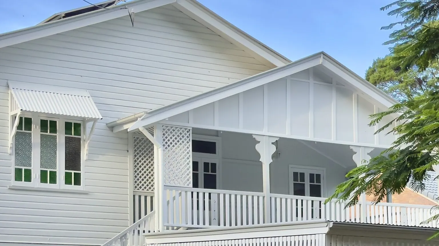
Photo: 'Queenslander style house in Sherwood, Queensland, 2024' by Kgbo, Wikimedia Commons, CC BY-SA 4.0.
Loading comments…