
A listing shows a generous block near bushland. The seller has a map screenshot and says the bushfire issue is manageable. Before you put a development price on that land, separate three questions: is it designated bushfire prone, what exposure would the proposed building face, and what approvals and design response does the actual proposal need?
Those questions are connected, but they are not interchangeable. A map result is the beginning of the investigation, not a consultant’s assessment or a decision-maker’s permission. Your job as a buyer is to identify the unresolved assumption early enough to protect the deal.
Which WA map is current?
Checked on 30 October 2026, DFES identifies the latest Map of Bush Fire Prone Areas as effective from 13 December 2025, designated under section 18P of the Fire and Emergency Services Act 1998. Its 2025 mapping FAQ confirms that this replaced the September 2024 version. Do not use an older sales attachment as proof of the current designation.
DFES describes a four-month transition for newly designated areas. That is not a fresh grace period starting when you buy. Ask your planner to confirm the parcel’s designation history and whether any transitional provision is relevant to the particular application or permit.
Use the official map linked by DFES and save the result with the date checked. The current instructions explain that selecting a property opens its designation, designation dates and local government information. Confirm the highlighted boundary is the property you mean. A nearby address marker or an unselected patch of colour is weak purchase evidence.
The map does not give you a BAL rating
The DFES FAQ expressly says the map does not show different hazard levels; it shows designated bushfire-prone areas. Map colours must not be read as construction specifications or as a ranking of which block is safe to develop.
A bushfire attack level, or BAL, assessment addresses something more specific. Appendix A.4 of WA’s Planning for Bushfire Guidelines describes an assessment containing calculations, assumptions and supporting information for exposure to embers, radiant heat and direct flame contact. It considers the building or development location and the relevant vegetation, separation and slope. A designation screenshot cannot supply that work.
This matters when an existing house sits towards the street but your proposal puts a new dwelling at the rear. An assessment attached to the existing house may not answer the question for the proposed building. Ask the practitioner to identify precisely which footprint, site conditions and assumptions a report covers, rather than borrowing a rating from a neighbour or another part of the lot.
Check the framework, not just the publication year
The current WA Planning policy page, last updated 22 September 2026, still identifies State Planning Policy 3.7 Bushfire and the Planning for Bushfire Guidelines as operational from 18 November 2024. The live links were checked for this article; the framework has not simply been assumed current because an older guide mentioned it.
Under SPP 3.7 section 4, designation is part of the applicability test, alongside the proposal’s effect on development intensity, people or bushfire risk and the relevant application category. Strategic planning, subdivision and building development are not treated as one universal pathway. Residential triggers also distinguish matters such as dwelling type, lot area, water connection and assessed exposure. Get a written answer for your proposal, not a verbal answer about the suburb.
The map also distinguishes Area 1 (Urban) and Area 2. SPP 3.7 excludes strategic planning proposals in Area 1 from its strategic-planning assessment requirement, but that is not a blanket exemption for every subdivision, building or use in Area 1. Do not turn a stage-specific provision into a promise that your project needs no bushfire work.
There is a separate statutory check. The current Local Planning Schemes Regulations consolidation, current from 6 October 2026, includes Schedule 2 Part 10A. Within its scope and subject to its exceptions, it addresses BAL assessment and circumstances requiring development approval, including BAL-40 or BAL-Flame Zone results. Ask your planner to read the current regulations, policy and applicable local scheme together. A lower BAL result is not, by itself, proof that all planning approval requirements disappear.
Planning approval and building compliance are also separate questions. The Guidelines, section 3.7, distinguish the building-permit process from development approval. Have a registered building surveyor confirm the current construction requirements for the proposed building; do not treat a planning exemption as an exemption from building standards.
Brief the expert around the purchase decision
You are not expected to solve this yourself. Engage an appropriately accredited bushfire planning practitioner and a WA town planner to investigate the site and confirm the current requirements. The student’s task is to explain the intended development and the decision deadline, not classify vegetation or calculate radiant heat.
A useful pre-purchase brief asks them to:
- Confirm the exact parcel, current designation, Area 1 or Area 2 status and any relevant transition or existing approval history.
- Test the proposed building locations or lot layout, not merely the existing dwelling.
- Specify the assessment appropriate to this stage: a BAL assessment, a BAL contour map, a bushfire management plan or other required work, rather than assuming one report answers everything.
- Identify access, water supply, vegetation-management and environmental constraints that could change the layout or approval prospects.
- Separate existing conditions from an indicative result that depends on future works, permissions or ongoing management.
- State what is unresolved, what further investigation is needed, and what must be confirmed before the purchase becomes unconditional.
The Guidelines distinguish practitioner competencies in Appendix A.4.3, including recommending Level 2 or 3 practitioners for indicative assessments supporting a bushfire management plan. Ask the consultant to confirm that their accreditation and commission cover the work your proposal needs.
A rear-lot idea that needs a different price
Consider a hypothetical WA purchase where you intend to retain the front house and create a rear lot. The seller’s map result establishes designation, but the rear building location has not been assessed. The concept also assumes vegetation can be modified and an existing driveway can serve the new arrangement.
Commission the practitioner and planner to test those assumptions together before relying on the extra lot’s value. If an acceptable design needs a different building envelope, access works or water infrastructure, have those items scoped and priced. If vegetation work is essential, establish whether it can lawfully occur and who can maintain it. The Guidelines, section 3.9, prioritise native vegetation protection and say bushfire mitigation should not be a stand-alone reason for clearing.
The trap is paying for an assumed rear lot while budgeting only for more expensive windows. The actual consequence could be redesign, a different product, additional reports and civil work, or a proposal that is not supported. Leave time in due diligence for the team’s findings to influence the offer; do not assume every concern can be resolved after settlement.
TPC deal lens: keep four costs separate
Carry separate allowances for investigation, design changes, physical mitigation and time. Investigation buys evidence. Design changes alter what you can sell or hold. Physical works need a defined scope. Extra time affects finance and holding costs. One unexplained bushfire contingency does not tell you which assumption has been tested.
Re-run the deal with the consultant-supported layout and an unresolved-issues case. If the purchase only works with a favourable future BAL result, unconfirmed clearing or someone else’s land being managed for your benefit, the price is ahead of the evidence. Ask your property lawyer about appropriate due-diligence protections rather than relying on an informal promise.
Key Takeaway
WA’s current bushfire-prone map is a screening trigger, not a BAL certificate or development approval. Save the correct map result, define the proposal and ask the right professionals to turn designation into a site-specific assessment and pathway. Price the design, works and timing they can support, not the outcome you hope the map implies.
Your Turn
If the rear building location has never been assessed, what evidence would you need from your bushfire practitioner and planner before paying for the extra development potential?
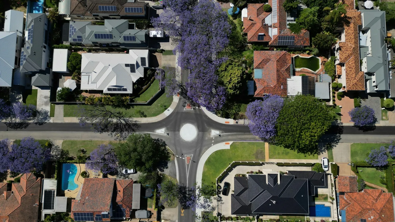
Image credit: Kat Nesterenko / Unsplash. Illustrative photograph. Source · Licence Cropped for display; original retained.
Sources and boundaries
Sources checked 30 October 2026.
- DFES — Bushfire prone areas — Checked 30 October 2026. Live DFES page identifies the latest map as effective 13 December 2025 and describes a four-month transition for newly designated areas. It does not assess any property.
- DFES — Map of Bush Fire Prone Areas FAQ 2025 — Checked 30 October 2026; linked PDF read in full. Pages 2–4 confirm the current map replaced September 2024, distinguish designation from hazard levels, explain Area 1 and property selection. Not a BAL report or site approval.
- DFES — Map of Bush Fire Prone Areas Instructions for Use 2025 — Checked 30 October 2026; linked PDF read. Page 4 explains designation fields, dates, Area 1/Area 2 and transition information; pages 4–6 address selection and search limitations. Interface guidance does not decide a development pathway.
- Landgate/DFES — Map of Bush Fire Prone Areas — Official viewer linked from the live DFES page and 2025 instructions. Included as the reader’s screening tool; no address or parcel has been assessed for this article.
- WA Planning — State Planning Policy 3.7 Bushfire — Checked 30 October 2026 in the live browser; page last updated 22 September 2026. Confirms the operational framework and supplies current policy, Guidelines and regulations links. A current landing page is not an assurance that every subsidiary reference is up to date.
- WAPC — State Planning Policy 3.7 Bushfire — Current linked PDF retrieved 30 October 2026. November 2024 policy, operational 18 November 2024. Section 4 covers application categories and Area 1/Area 2; sections 6–7 cover outcomes and measures. Do not reduce its conditional triggers to a universal mapped-land rule.
- WAPC — Planning for Bushfire Guidelines — Current linked PDF retrieved 30 October 2026. Cover November 2024; publication date 30 January 2025; operational date 18 November 2024. Sections 1–3, 5 and Appendix A distinguish assessment tools, map trigger, building process, vegetation and practitioner competencies. Do not treat dated BCA commentary as a current construction specification.
- WA Legislation — Planning and Development (Local Planning Schemes) Regulations 2015 — Checked 30 October 2026. Official index marks consolidation 01-a0-00 current from 6 October 2026; current HTML mrdoc_49895 read at Schedule 2 Part 10A, clauses 78A–78G. Statutory scope and exceptions must be read with the actual scheme and proposal; this article does not decide an exemption.
Western Australia only, checked 30 October 2026. No council-specific rule, parcel assessment, BAL calculation, development entitlement or approval is established. No named council’s controls are relied on. The current linked SPP 3.7 and Guidelines were rechecked, along with the current October 2026 regulations consolidation. Policy and statutory applicability are distinct, conditional tests; local scheme provisions, existing approvals, transition history, environmental constraints and the exact proposal still require professional confirmation. Cost and timing discussion is a feasibility framework, not a quoted fee, construction premium or assessment timeframe. Construction standards must be confirmed under the requirements applicable to the actual building and application date.
General educational information only, not personalised planning, bushfire safety, building, legal, financial or investment advice. Bushfire risk cannot be eliminated by a map result, compliant design or approval. Obtain current site-specific advice from an appropriately accredited bushfire practitioner and WA town planner, with a registered building surveyor for construction compliance and a property lawyer for purchase protections.
 Learn with Jason & AmyBuild practical small-scale property development skills with experienced mentors.Enquire now
Rate this article
Guest rating: select 1 star for poor or 5 stars for great. No account is required.
Leave a comment
Join the discussion. Your email address will not be published.
Frequently asked questions
Does a bushfire-prone designation mean I must abandon the purchase?
No. It identifies a matter to investigate, not an automatic approval or refusal. Before relying on development value, have an appropriately accredited bushfire practitioner and WA town planner test the actual proposal, its assessment requirements and the consequences for design, works and timing.
Can I use the BAL report for the existing house to price a new rear dwelling?
Not without professional confirmation. Ask whether the report covers the proposed rear building location, current vegetation and slope, and the assumptions necessary for that design. A rating for another building or footprint is not evidence for yours.
Does Area 1 mean no bushfire planning or building requirements apply?
No. The policy’s Area 1 exclusion for strategic planning is not a blanket exemption at every stage. Subdivision, development and building compliance need their own current, proposal-specific checks.
What if the map result disagrees with what I see on the property?
Do not remove the designation yourself or assume the aerial image proves it wrong. Confirm the selected parcel and current map, then contact the planning or building section of the relevant local government. DFES describes a local-government-led process for considering mapping changes; a private opinion does not itself amend the official map.
What should I request before making the purchase unconditional?
Request a written pre-purchase assessment matched to the intended layout, identification of the applicable planning pathway and further reports, and clear separation of existing conditions from future mitigation assumptions. Have the team identify unresolved access, water and vegetation issues and obtain scoped cost and timing advice. Ask your property lawyer whether the proposed due-diligence protections are adequate.
Loading comments…