

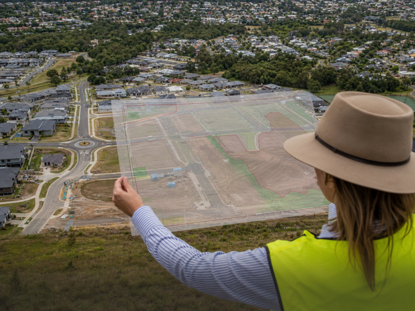
A property can look close to a station or town centre and still fail the test an investor assumed would apply. Under the NSW Low and Mid-Rise Housing framework, location is important, but the map is not the whole answer.
Indicative Maps Are a First Filter
Government mapping can help identify areas worth investigating. It cannot account for every property constraint, access route or site-specific planning issue.
That means a coloured map should start due diligence, not finish it.
Walking Distance Is Not a Straight Line
The practical route to a nominated centre or station can be longer than the visual distance on a screen. Roads, rail corridors, waterways, fenced land and missing pedestrian connections can change the route.
An investor should verify the applicable definition and the actual route used for the planning test rather than relying on a simple radius.
Check the Land, Not Just the Area
Even where the wider area is affected by the policy, the individual property still needs to be checked for:
- its current zone and permitted housing type
- inner or outer area controls where relevant
- heritage, flooding, bushfire and biodiversity constraints
- lot size, frontage and access
- easements, services and physical limitations
- the approval pathway available to the proposed design
Build a Verifiable Property File
Save the current planning maps, the property planning certificate, the measured walking route and written advice from the relevant specialists. Record the date of every source because planning controls can change.
This creates a clear evidence trail for the feasibility and makes it easier to explain the opportunity to a lender, partner or mentor.
TPC Takeaway
Proximity creates a reason to investigate. It does not create an automatic development entitlement.
Verify the legislation, route, zoning and site constraints before paying a premium for an advertised LMR opportunity.
General information only. Planning controls and mapping can change and vary between properties. Obtain independent planning, legal, financial, tax and construction advice before purchasing or developing property.
Watch The Free Training
Watch the free Think Property Club training and learn how everyday Australians are using the wholesale property system to find, assess and structure high-profit property opportunities.
Watch the free masterclass →Frequently asked questions
What should investors know about Indicative Maps Are a First Filter?
Government mapping can help identify areas worth investigating. It cannot account for every property constraint, access route or site-specific planning issue.
What should investors know about Walking Distance Is Not a Straight Line?
The practical route to a nominated centre or station can be longer than the visual distance on a screen. Roads, rail corridors, waterways, fenced land and missing pedestrian connections can change the route.
What should investors know about Check the Land, Not Just the Area?
Even where the wider area is affected by the policy, the individual property still needs to be checked for:
What should investors know about Build a Verifiable Property File?
Save the current planning maps, the property planning certificate, the measured walking route and written advice from the relevant specialists. Record the date of every source because planning controls can change.
What should investors know about TPC Takeaway?
Proximity creates a reason to investigate. It does not create an automatic development entitlement.
Rate this article
How useful did you find this article? 1 is poor and 5 is great.
Join the conversation
Your email address will not be published.
Loading comments…